New Features Articque Platform
Articque Platform [On Premises]
version 8.0.9461
Articque Platform [On Premises]
version 8.0.9461
Articque Platform [On Premises]
Version 8.0.9461
The 8.0.9461 version brings the following new features:
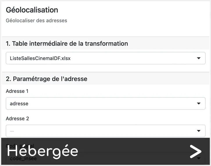
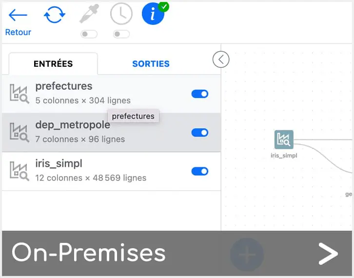
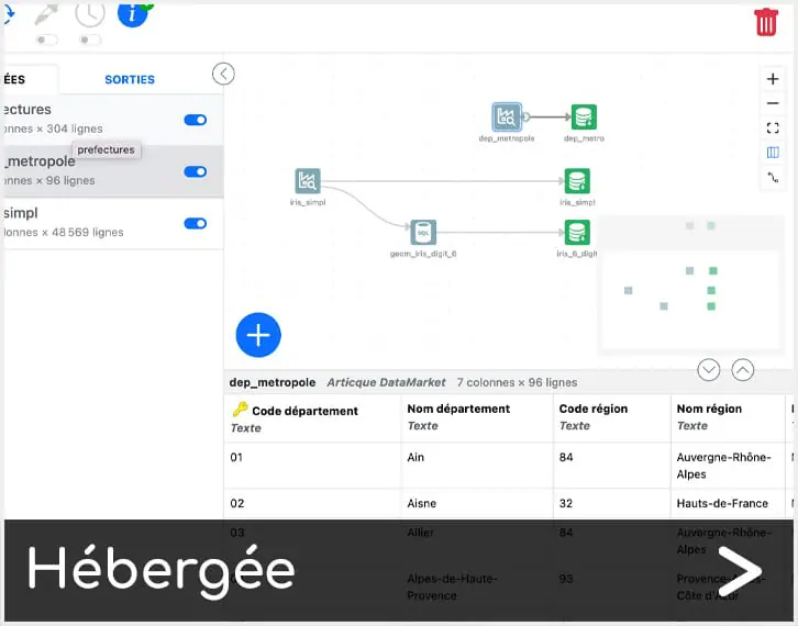
Discover now the Beta version of DataComposer, your new data preparation tool fully integrated to Articque Platform.
DataComposer allows you to integrate, transform and prepare your statistical and spatial data upstream of your Flowcharts and Atlases, even when they are large.
We have already planned a number of evolutions to come (very quickly), to allow you to create even bigger projects, even faster.
Stay tuned…
You can refer to our dedicated documentation accessible from the online help (click on the « In development » menu and then the « DataComposer » link).
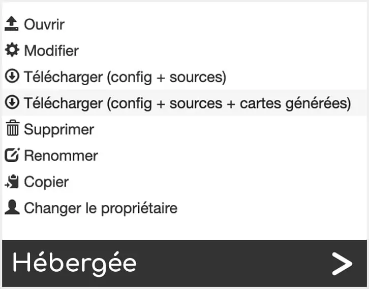
An area dedicated to DataComposer administration is also available in your Articque Platform Administration Backoffice.
You can copy the confirmation links via your backoffice and then paste them into a message directly in your mailing tool.
The display (or interface) of your atlas becomes lighter and adapts to the information you add to it:
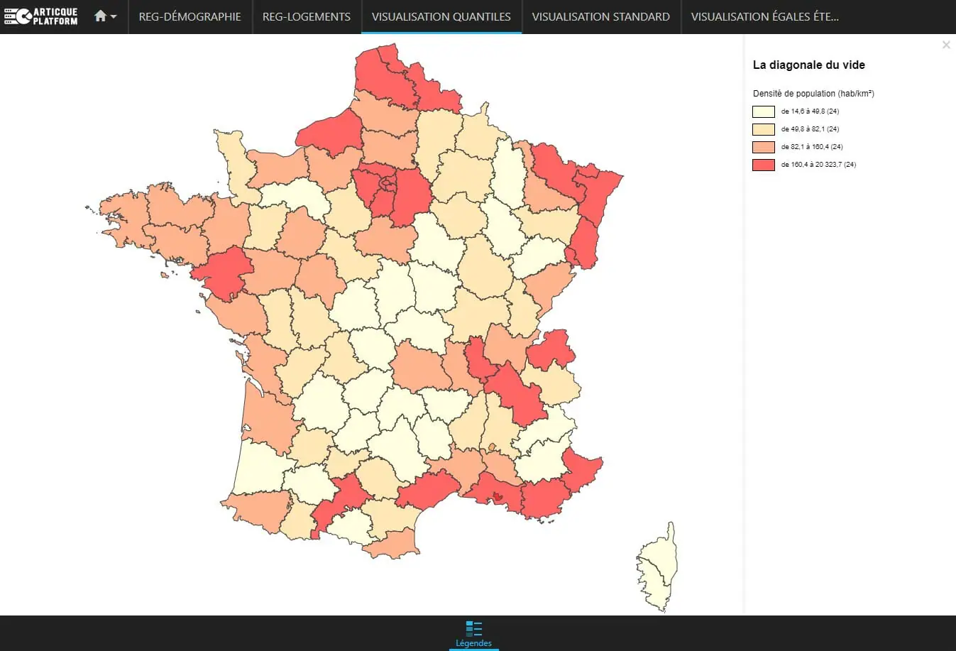
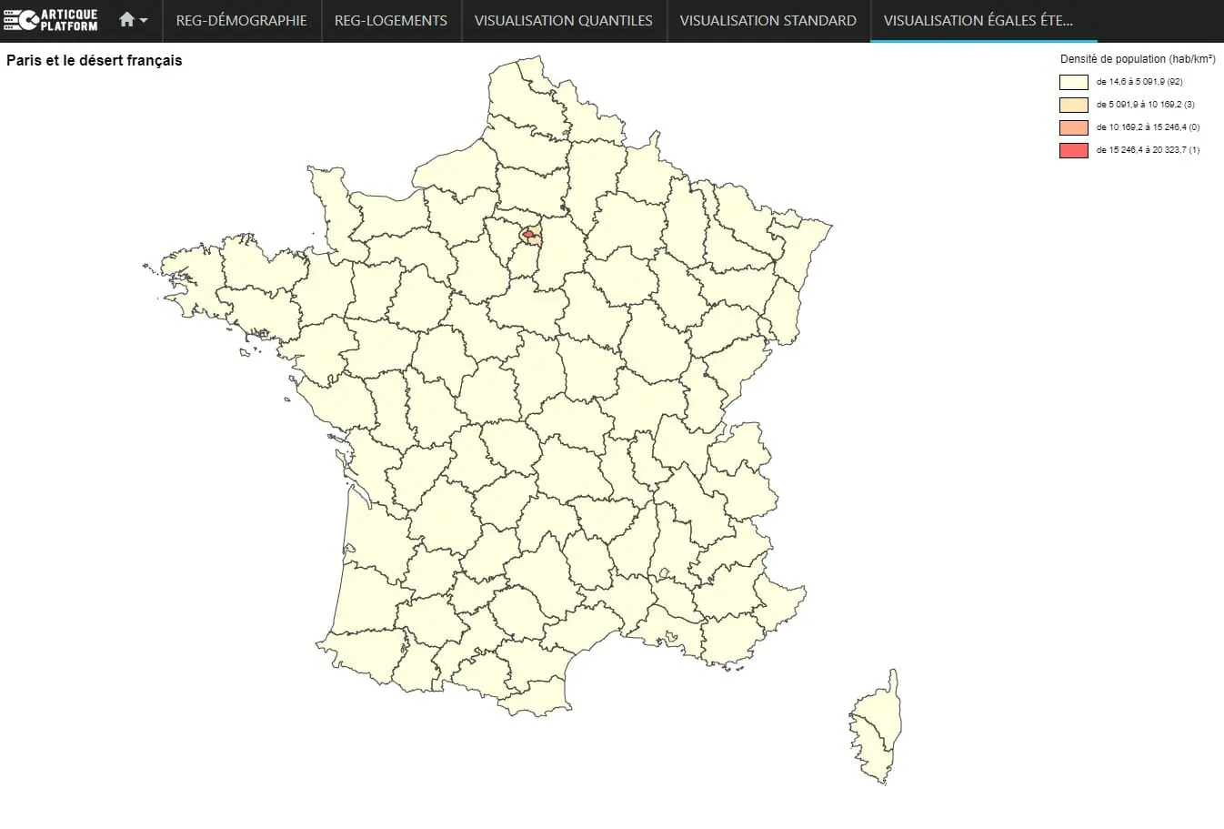
The « map only » option allows you to display only the interactive map, without the layer panes, banners, click-through sheets etc. Ideal for integrating a simple location map (of agencies, points of interest, etc.) on your website or intranet for example!
To activate it, go to the settings of your Atlas and check « Map only ». The url of your Atlas will then be updated. The operation is the same for the iFrame (as a reminder, the iFrame is a piece of code to add to your web page to integrate your interactive map in two clicks).
If you enable this option, your original url and your complete Atlas will always remain active and searchable.
The legends of the representations appear by default in the list of layers and no longer in the vertical block « legends ». This new feature will apply to new Representation modules that you add after this update.
The operation for Analyst users remains unchanged.
Title, orientation, comments, scale are now integrated in the map by default, not in the legend area.
The « Home » icon, which allows you to return to the first level of your Atlas, will now be permanently displayed in the horizontal bar at the top of your screen.
Now, when you click on a geographical entity to view its record on click, the territory will be circled in red in order to better locate the concerned area on the map.
In the settings page of your atlas, all the options that can be activated (legends, clickable records, etc.) are grouped together in the « Page layout » section.
This new feature is also accompanied by some changes:

 New Features Articque Platform version 8.0.9461